Tbd Route 100
About this property
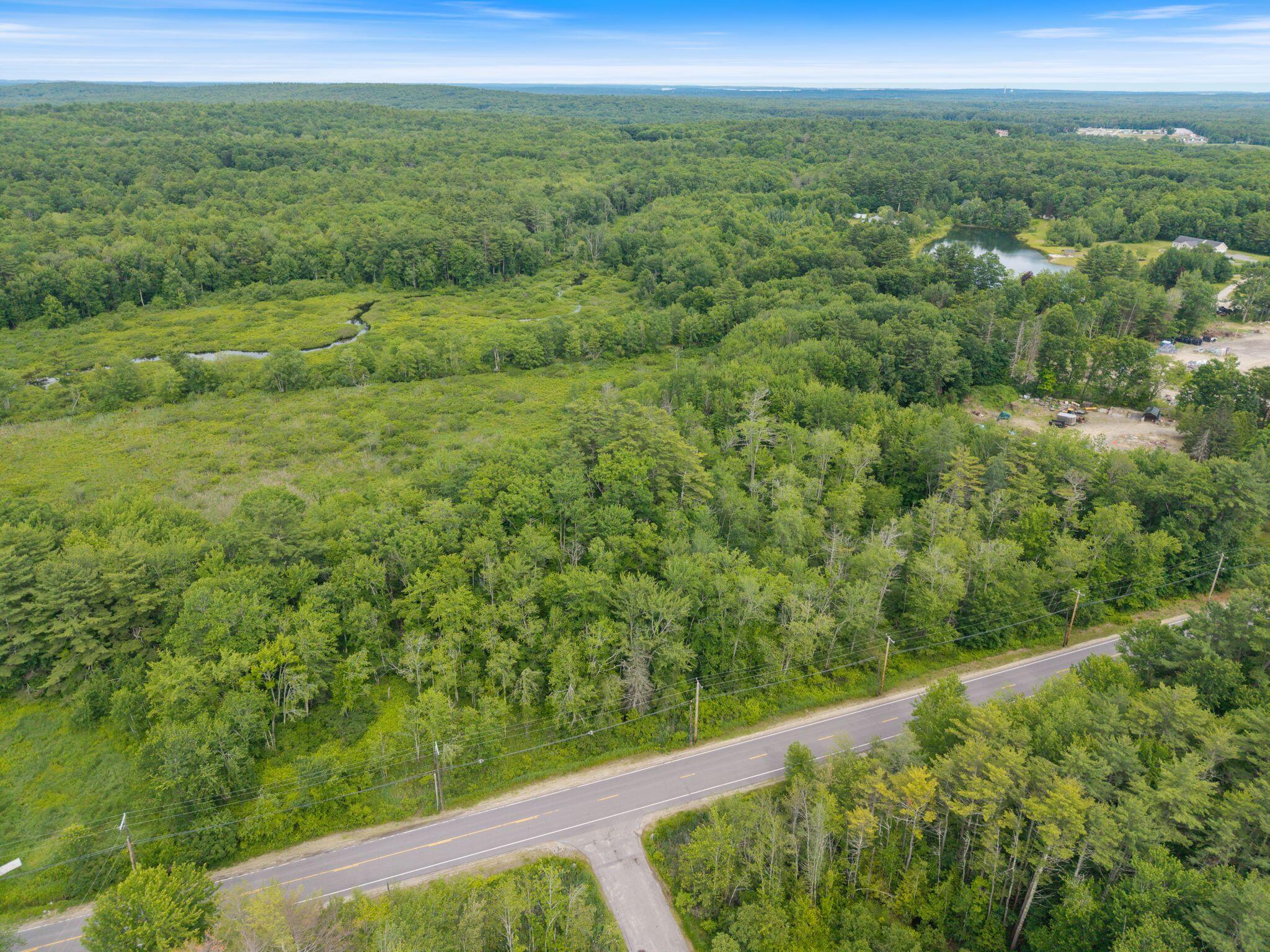
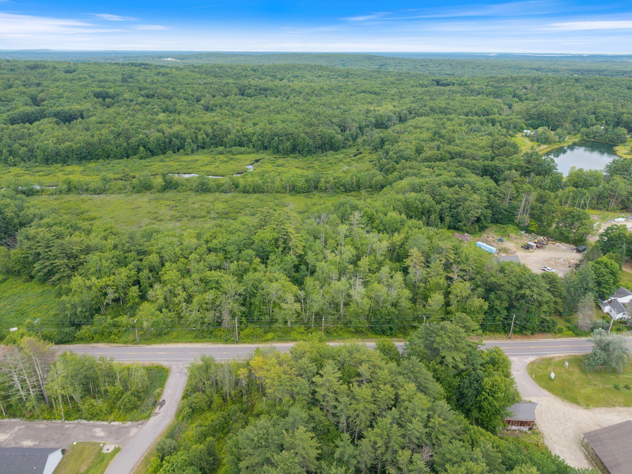
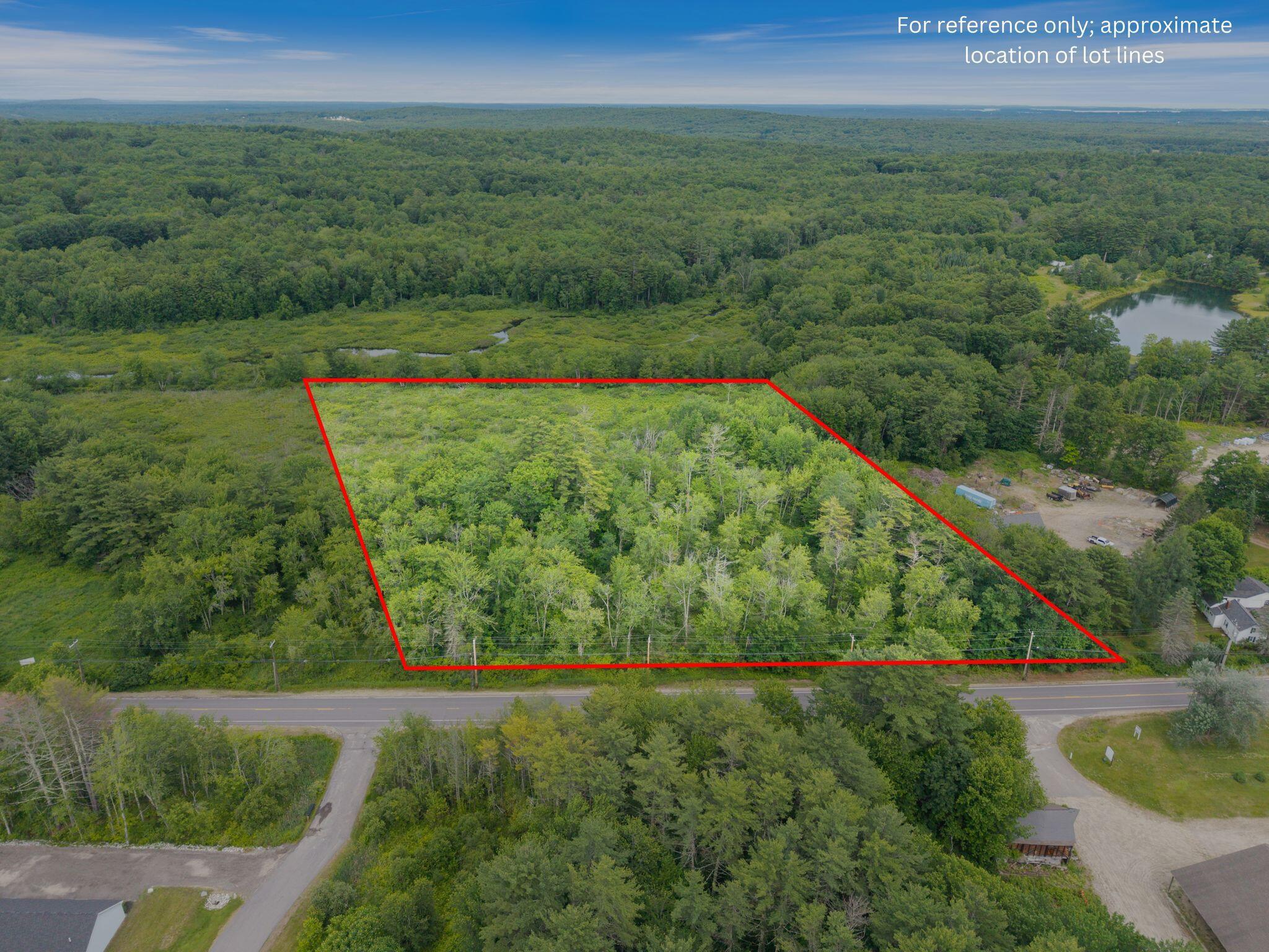
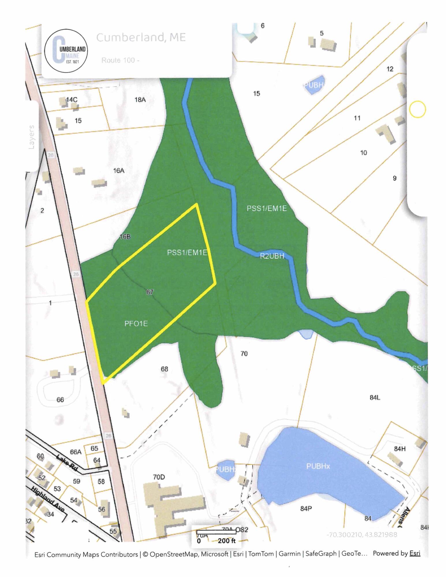
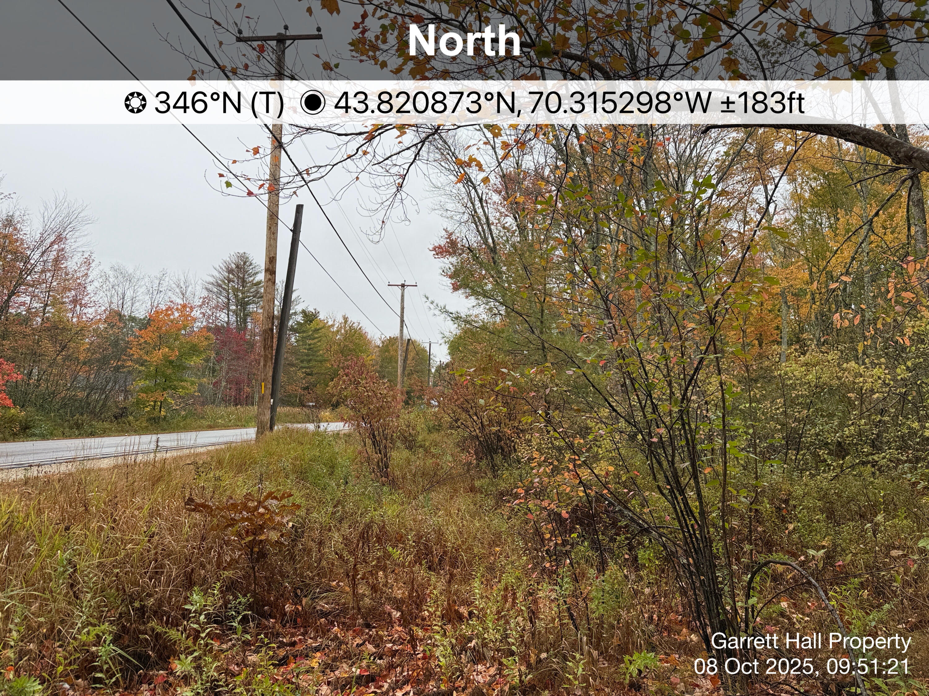
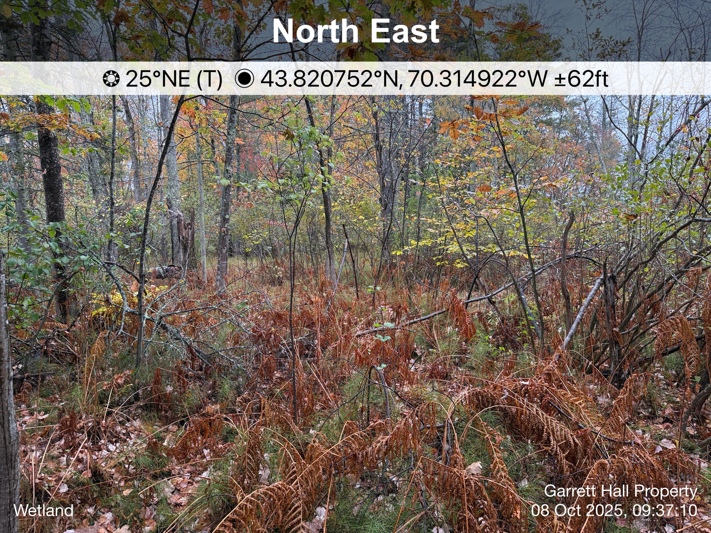
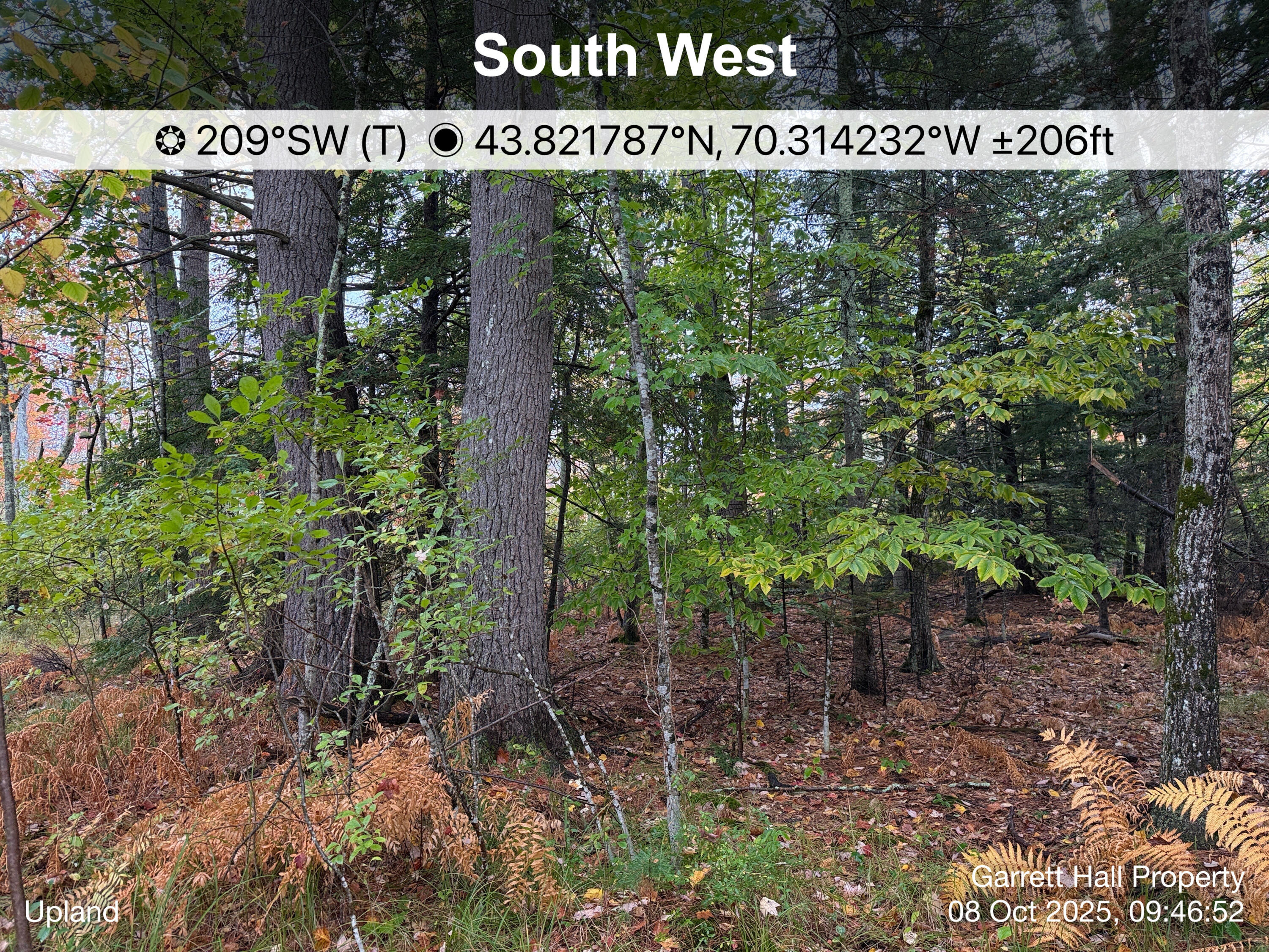
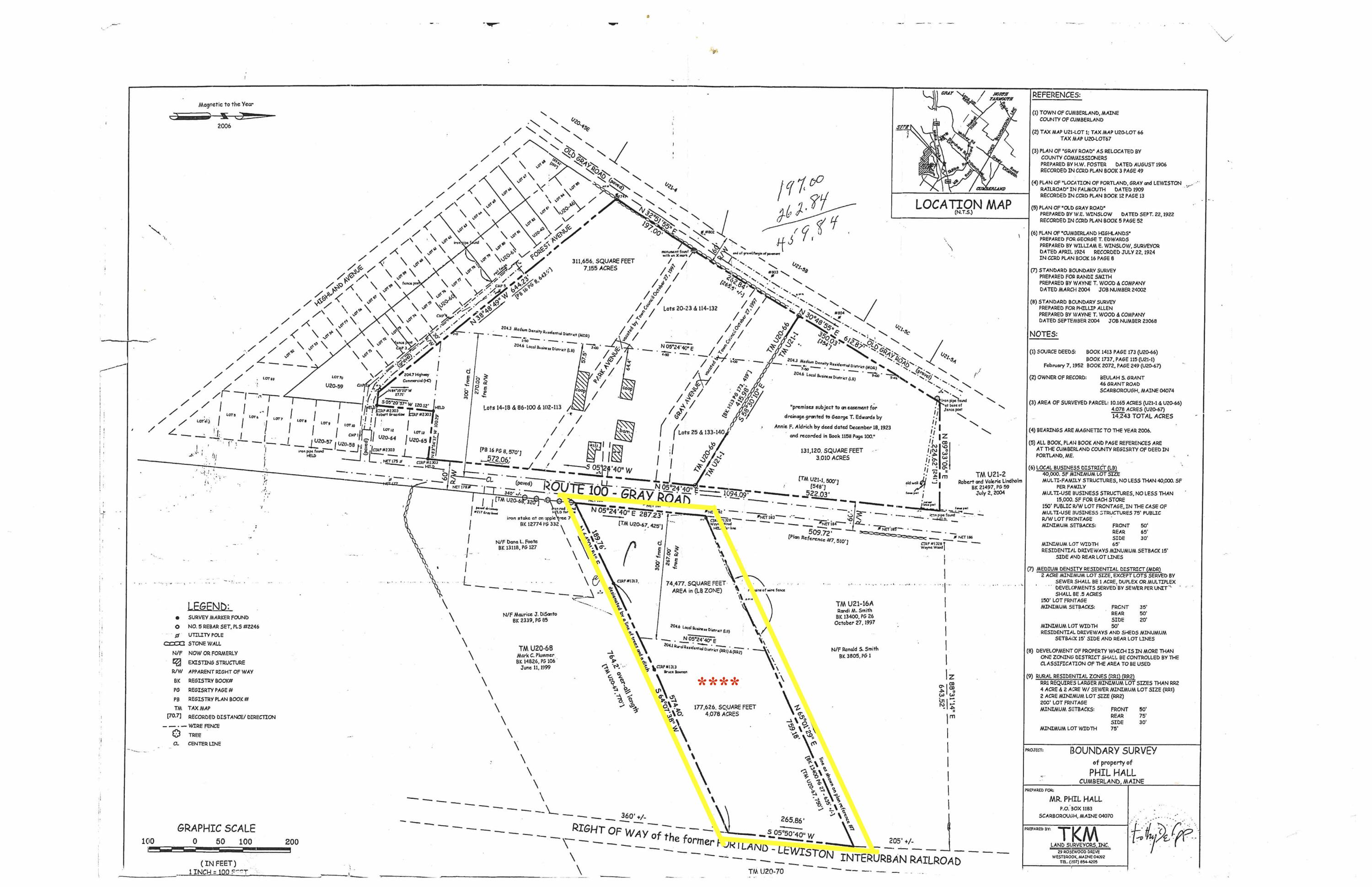
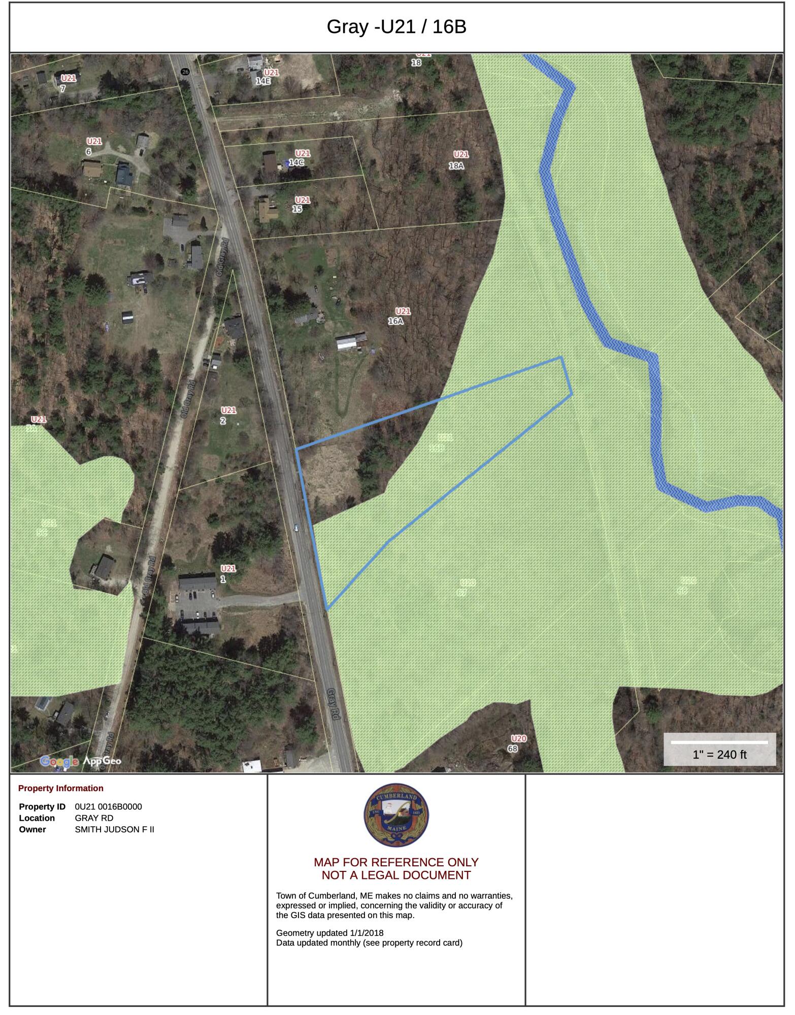
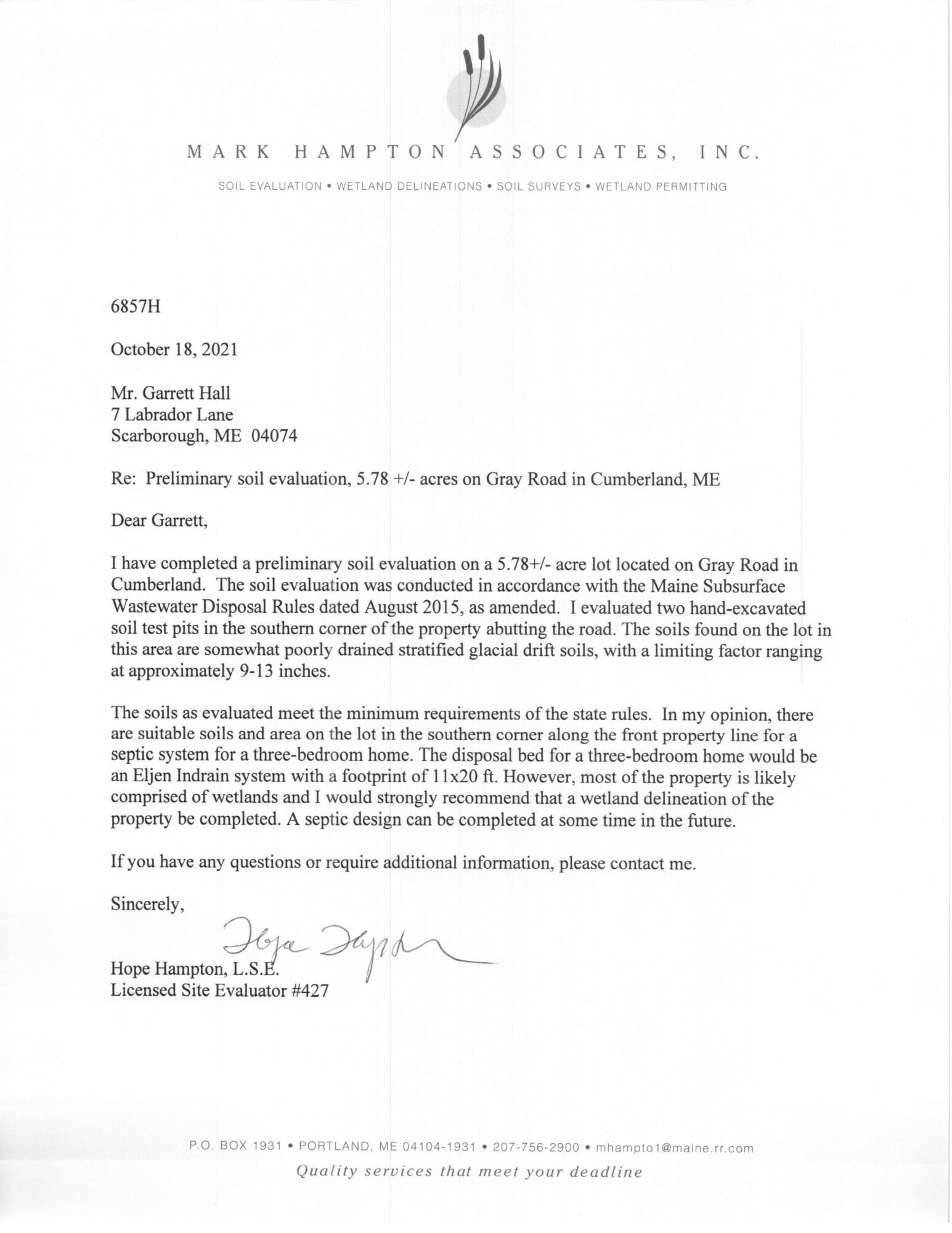
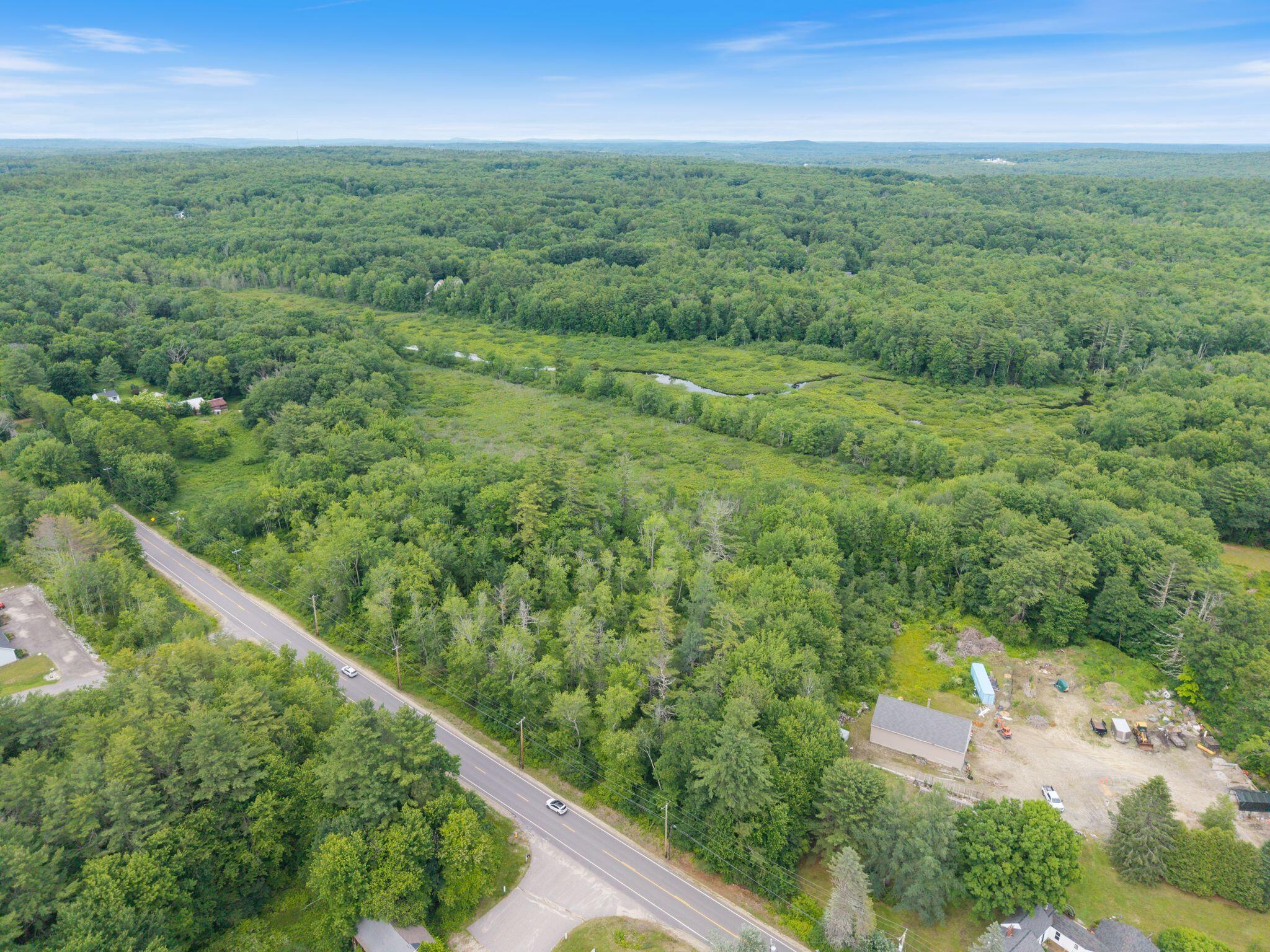
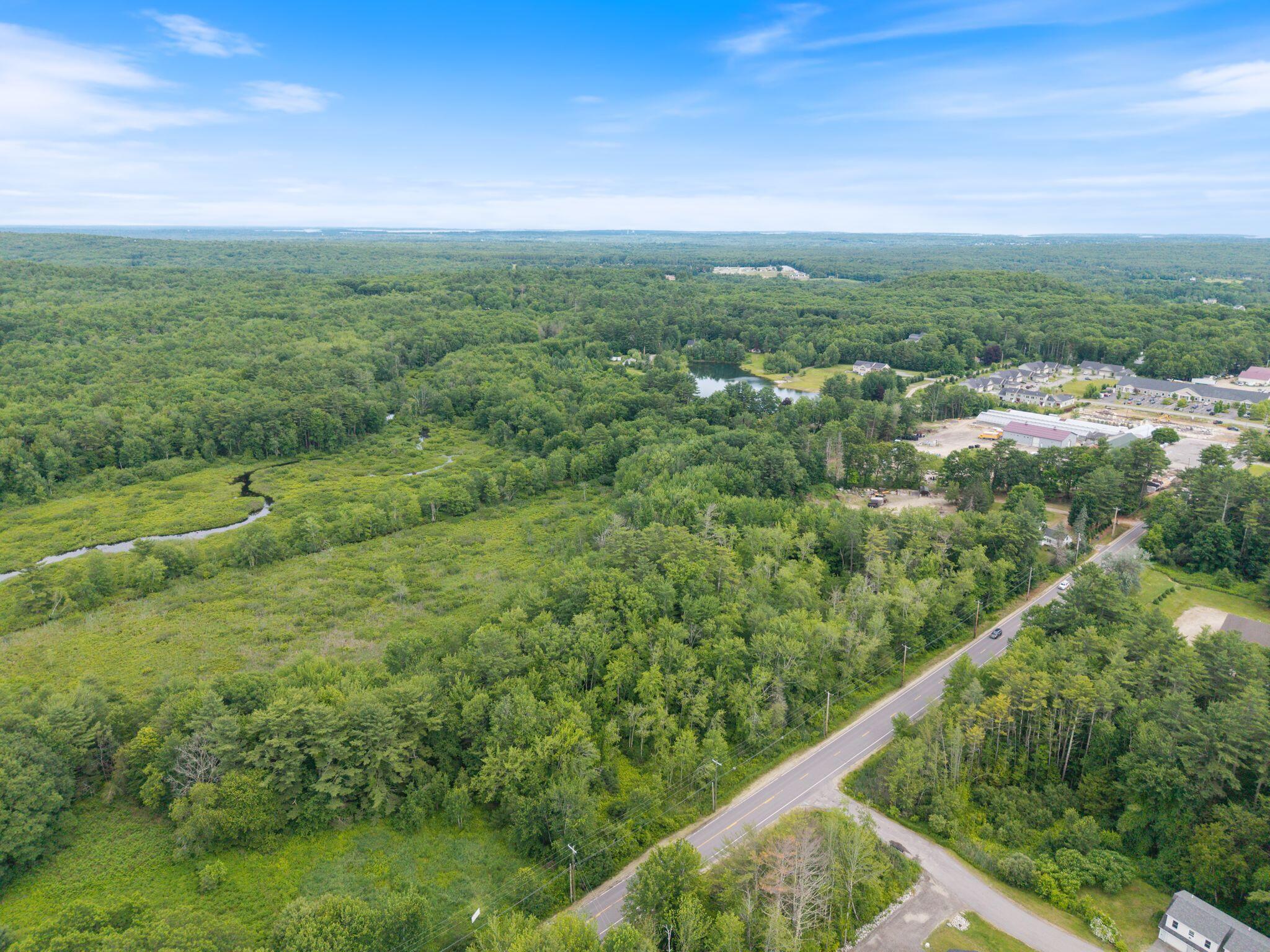
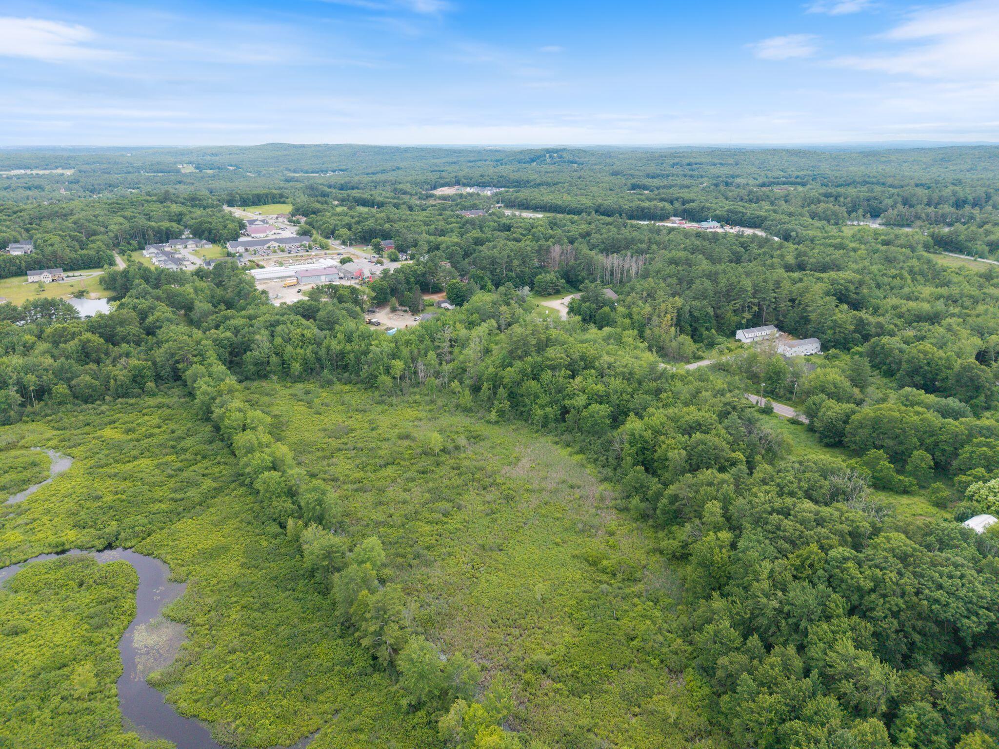
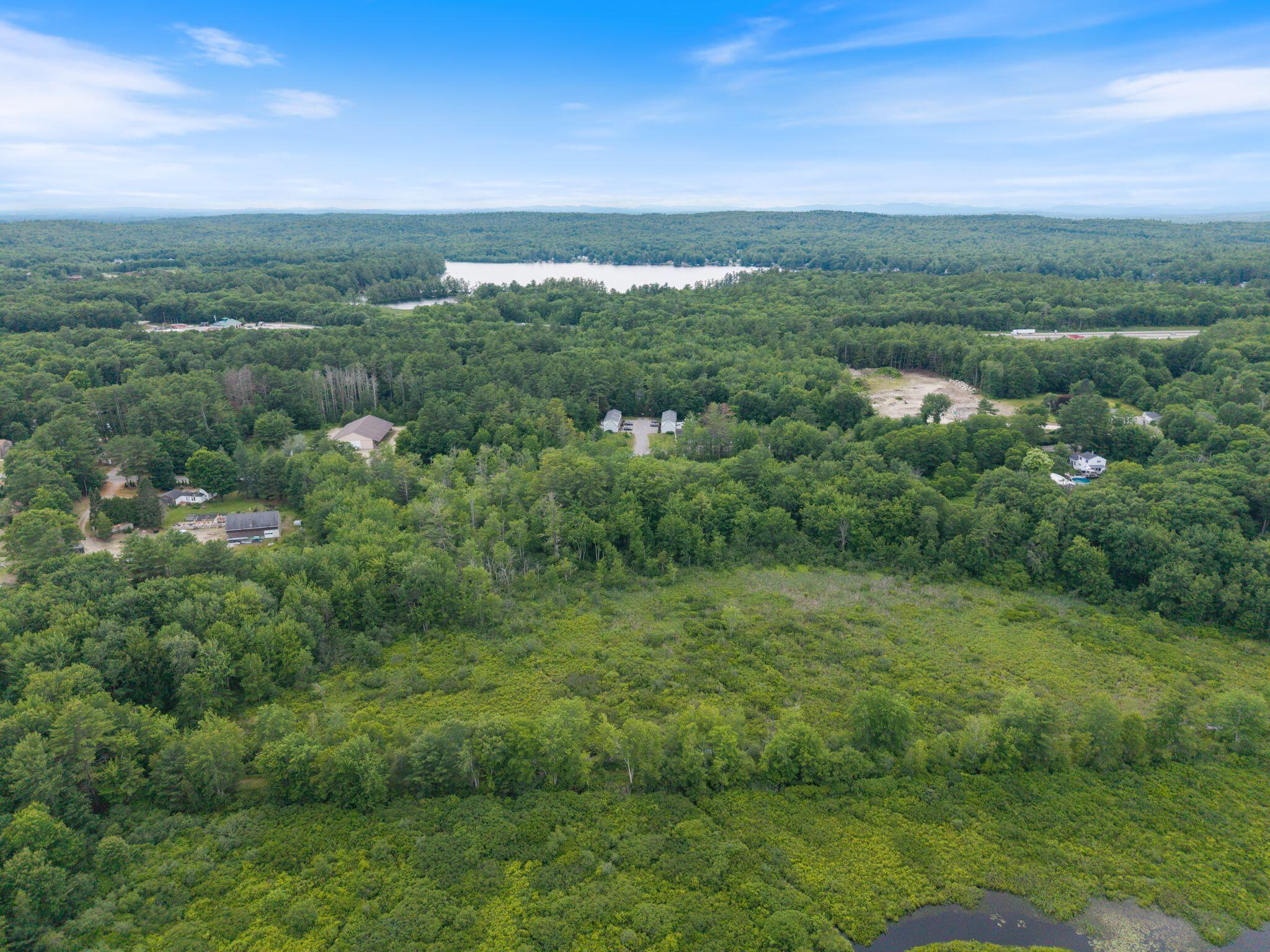
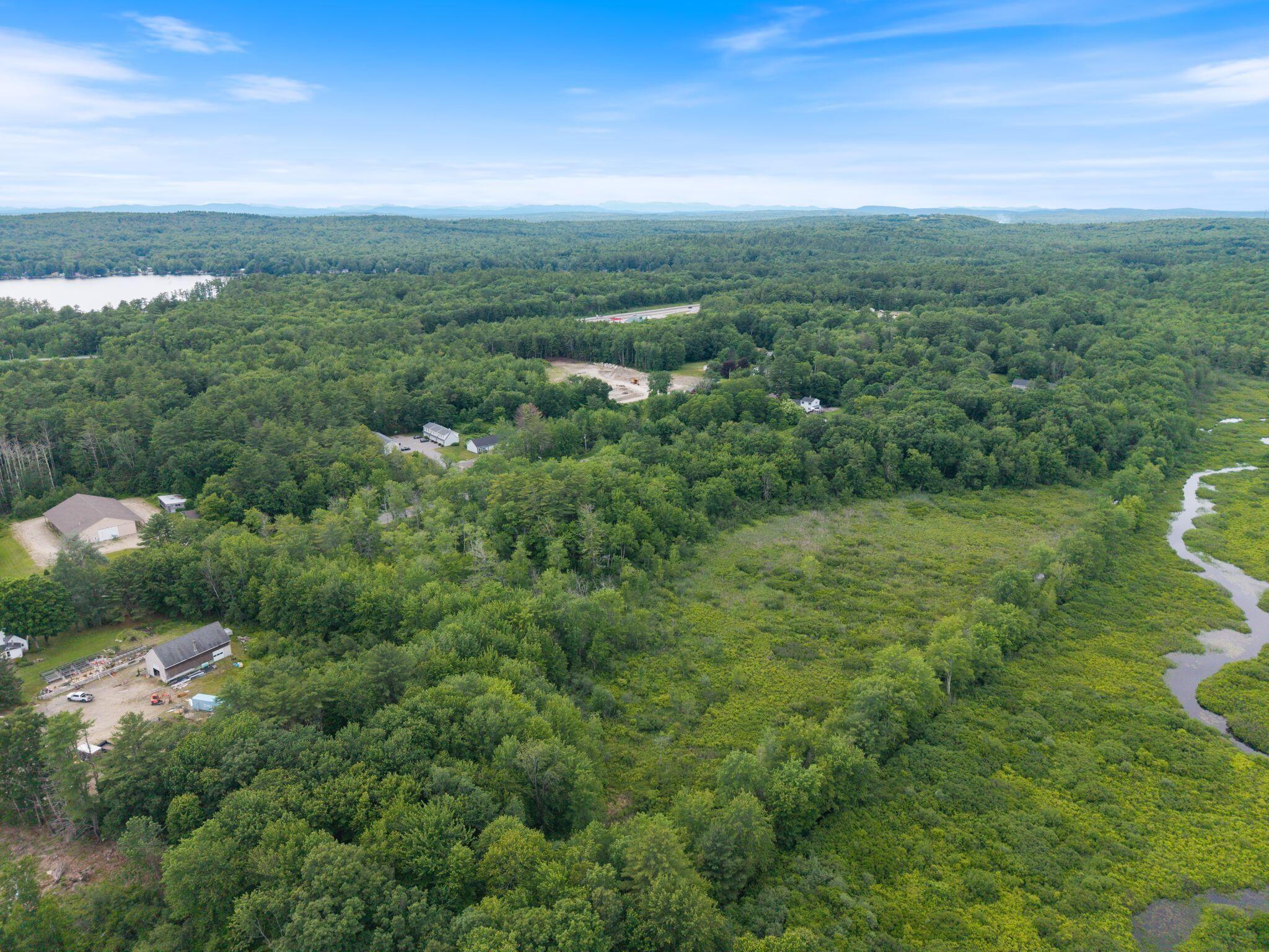
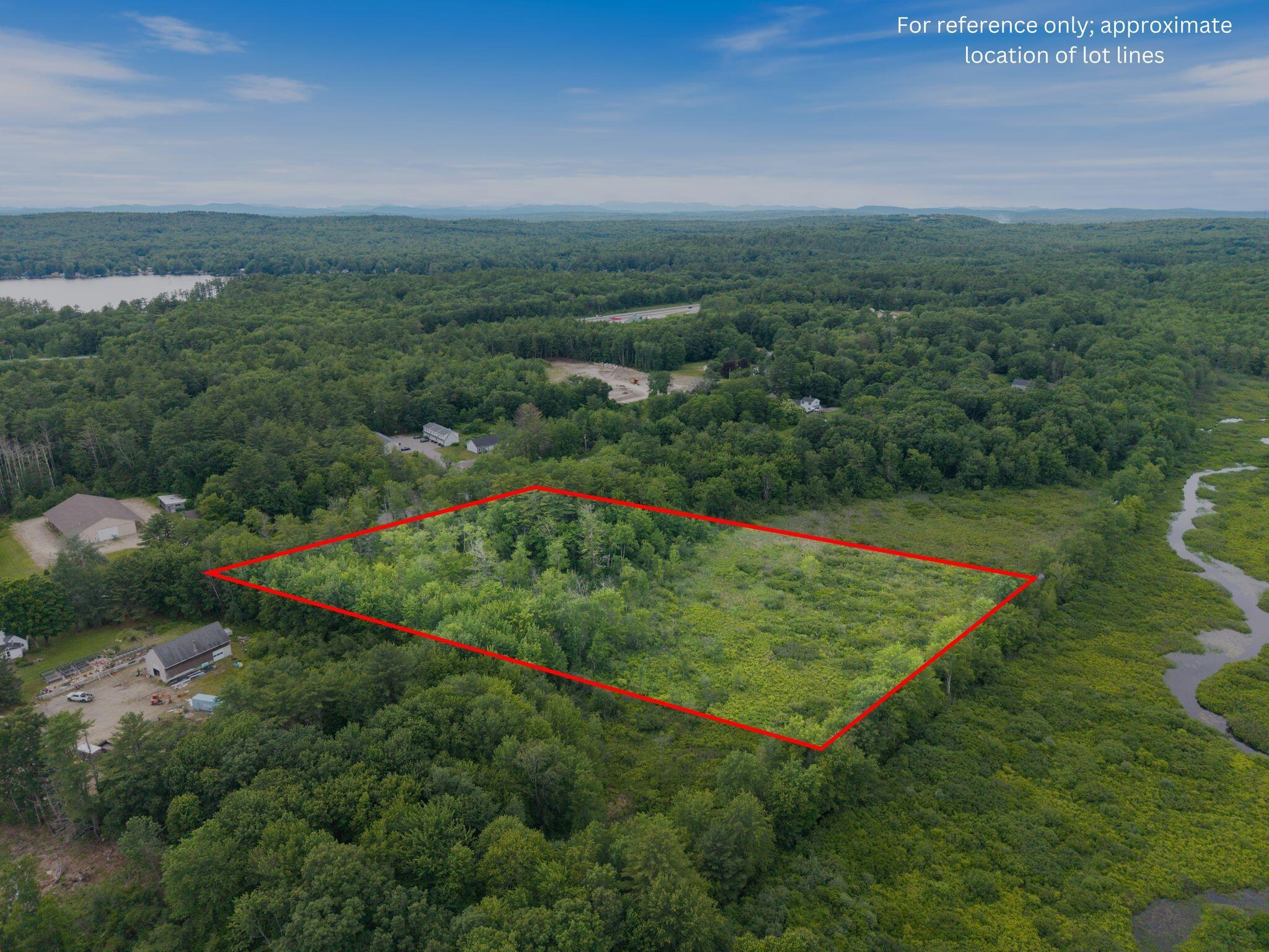
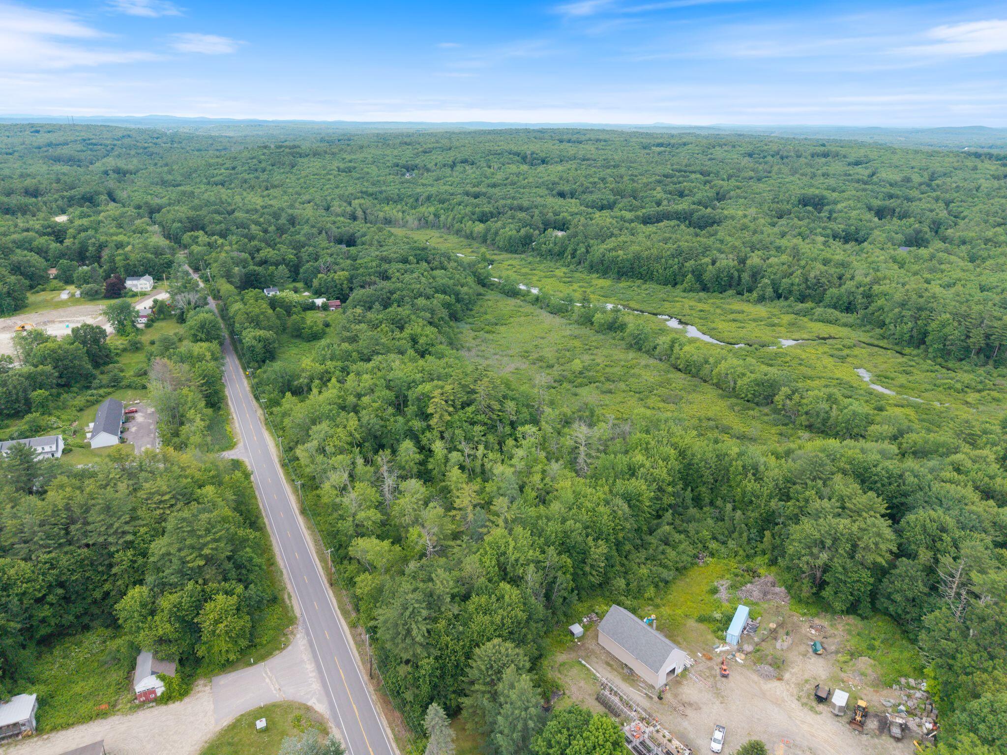
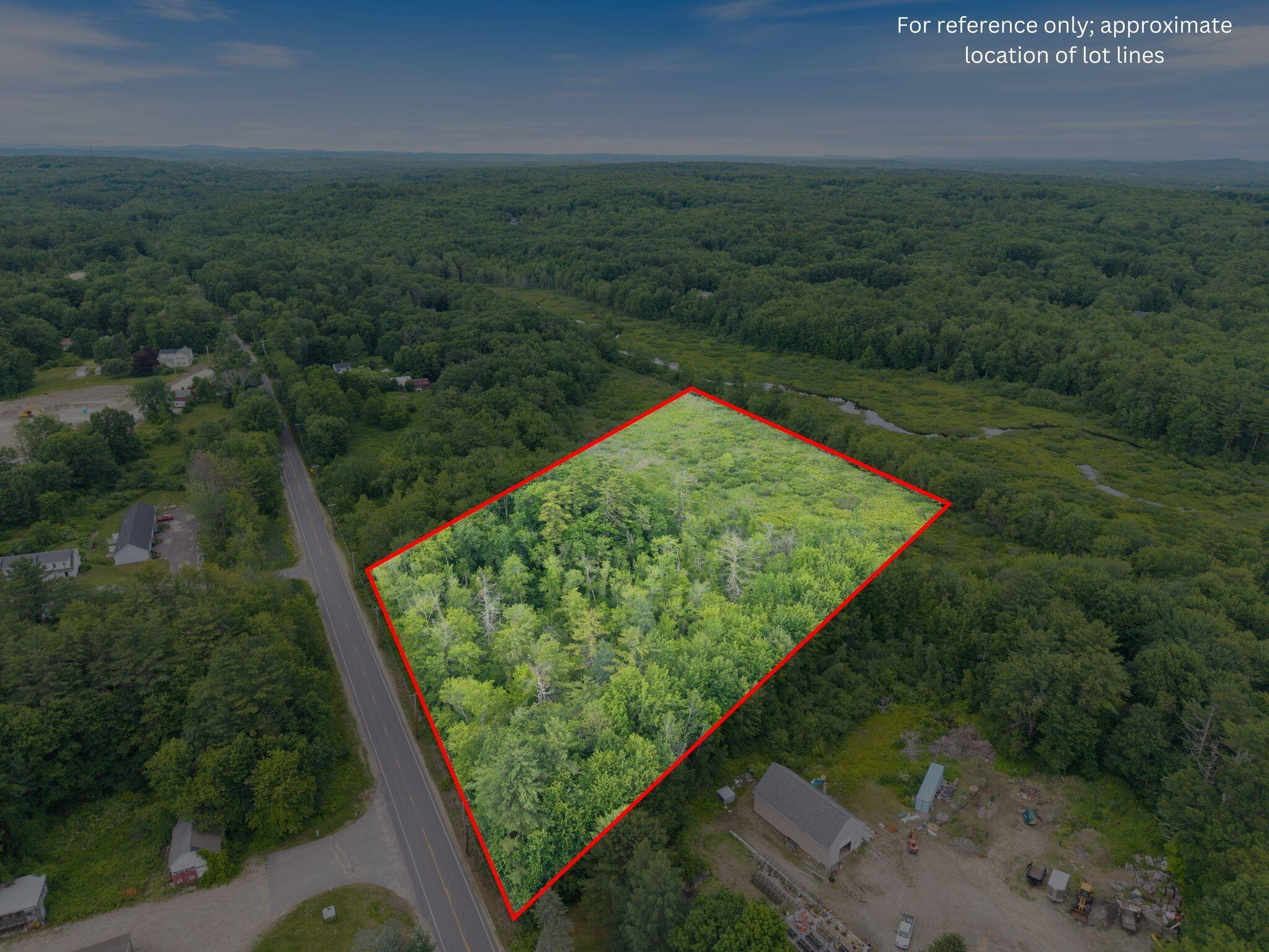
This surveyed 6.23 acre parcel forms a broad wooded tract along a paved public road, with convenient connections to Cumberland, Portland, and Interstate 95. Mixed woodland, wetland vegetation, and river corridor habitat create a natural setting whose identity is rooted in the land itself. **** This property should not be presumed buildable. A 2025 environmental field review estimates more than 95 percent of the site is wetland, including Wetlands of Special Significance, and identifies one approximate 40 by 50 foot upland island. That review states construction and septic installation on the upland area would be very difficult. It is not an official wetland map or formal delineation. Town code review likewise indicates the parcel appears fully covered by wetlands and that a formal delineation is needed to determine whether any buildable location exists without state and federal wetland fill permits. **** An earlier 2021 preliminary soil evaluation identified an area near the southern road frontage that met minimum state soil standards for a possible septic system, but no septic design was completed, and that evaluation preceded the 2025 wetland field review. The parcel is zoned VCC, which does not currently allow new residential uses. It is also subject to a shoreland zoning overlay and is partly mapped in FEMA Flood Zone A. No driveway, parking, electricity, gas, water, or sewer is installed. The existing survey, environmental review, soil evaluation, flood mapping, and related property records are available. Any use or development is subject to independent verification and all municipal, state, and federal approvals, which may include Maine DEP and United States Army Corps of Engineers review. No representation is made that the parcel is buildable.
About this property
This surveyed 6.23 acre parcel forms a broad wooded tract along a paved public road, with convenient connections to Cumberland, Portland, and Interstate 95. Mixed woodland, wetland vegetation, and river corridor habitat create a natural setting whose identity is rooted in the land itself. **** This property should not be presumed buildable. A 2025 environmental field review estimates more than 95 percent of the site is wetland, including Wetlands of Special Significance, and identifies one approximate 40 by 50 foot upland island. That review states construction and septic installation on the upland area would be very difficult. It is not an official wetland map or formal delineation. Town code review likewise indicates the parcel appears fully covered by wetlands and that a formal delineation is needed to determine whether any buildable location exists without state and federal wetland fill permits. **** An earlier 2021 preliminary soil evaluation identified an area near the southern road frontage that met minimum state soil standards for a possible septic system, but no septic design was completed, and that evaluation preceded the 2025 wetland field review. The parcel is zoned VCC, which does not currently allow new residential uses. It is also subject to a shoreland zoning overlay and is partly mapped in FEMA Flood Zone A. No driveway, parking, electricity, gas, water, or sewer is installed. The existing survey, environmental review, soil evaluation, flood mapping, and related property records are available. Any use or development is subject to independent verification and all municipal, state, and federal approvals, which may include Maine DEP and United States Army Corps of Engineers review. No representation is made that the parcel is buildable.
Features and Additional Information
Presented By H-K Realty


Area Information
Cumberland | Cumberland County |
Schools in the Area
-
turned_in
Elementary School
-
turned_in
Middle School
-
turned_in
High School
Want to See More Listings in the Area?
Brokerage: Maine Real Estate Co